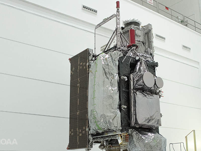
Geostationary Operational Environmental Satellite-S (GOES-S) is the second of four advanced geostationary weather satellites being developed by the National Oceanic and Atmospheric Administration (NOAA).
The satellite was designated as GOES 17 upon reaching geostationary orbit. It was launched in March 2018 on-board Atlas V rocket from Cape Canaveral Air Force Station in Florida.
Placed at 137° west longitude orbital position over the west coast, the satellite provides weather forecasting along with GOES-16 satellite.
The other two satellites currently under development in the four-satellite GOES programme include T and U satellites. The constellation will extend the availability of the operative GOES system until December 2036.
GOES-S satellite design and development
GOES-S satellite’s design, construction, assembly, integration and testing services were provided by prime contractor Lockheed Martin Space Systems. The satellite was manufactured by Lockheed Martin Space Systems at its facilities located in Denver, and Littleton in Colorado.
The assembly of the satellite components was completed in December 2016. The satellite has undergone electromagnetic testing and was fully integrated for final functional tests in August 2017.
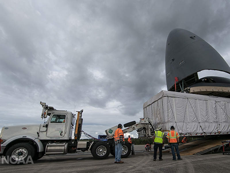
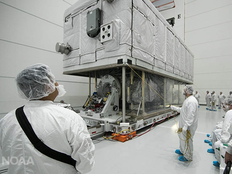
It was transported to Nasa’s Kennedy Space Centre shuttle landing facility located in Florida in December 2017.
The satellite encapsulation in payload fairing was completed at a clean room at Astrotech Space Operations located in Titusville, Florida, in January 2018.
The spacecraft has a launch mass of 5,500kg and dry mass of 2,800kg. It can generate 4,000W of power in the space. The design lifespan is 15 years, including ten years of operational life and five years of stand-by life as an on-orbit replacement.
Instruments on-board GOES-S satellite
The GOES-S satellite carries a suite of sophisticated Earth-sensing, lightning-detecting, solar imaging and space weather monitoring instruments.
The instruments payload integrates six main instruments, including advanced baseline imager (ABI), extreme ultraviolet sensor / X-ray sensor irradiance sensors (EXIS), geostationary search-and-rescue (GEOS&R), geostationary lightning mapper (GLM), space environment monitor / magnetometer (SEM/MAG), and solar ultraviolet imager (SUVI).
It will also include other supporting instruments such as data collection and interrogation service (DCIS), space environment in‐situ suite / magnetospheric particle sensor (SEIS / MPS), SEISS / energetic heavy ion sensor (SEIS / EHIS), and SEISS / solar and galactic proton sensor (SEIS/SGPS).
GOES-S satellite mission details
The satellite will provide near real-time critical data and imagery of severe weather events, including thunderstorms, tornadoes, hurricanes and flash floods. It will also provide data related to natural threats such as aerosols, dust storms, and volcanic eruptions.
The spacecraft will also deliver faster and accurate data to track storm systems, lightning, wildfires, dense fog, and other menaces that threaten the western US, Hawaii, and Alaska. It offers coverage of the US West Coast, Alaska, Hawaii, Mexico, Central America, parts of South America and the Pacific Ocean extending to New Zealand.
The satellite can scan the Earth five times quicker, and can give the most credible forecasts and austere weather outlooks.
It will also help forecasters to track and predict the formation and dissipation of fog, which can interrupt airport operations.
GOES-S launch vehicle details
The GOES-S launch contract was awarded to United Launch Services in April 2012. The satellite was lifted off on-board Atlas V 541 rocket.
The Atlas V 541 launch vehicle forms part of the flight-proven Atlas V 400 / 500 family of expendable launch vehicles. It features four solid rocket boosters powered by a single RD-180 engine and an RL10C-1 engine for the Centaur upper stage.
The satellite launch operations were carried out at the launch complex 41 located at Cape Canaveral Air Force Station, Florida.


