
The UK’s air navigation service provider (ANSP), NATS, has launched a new flight-tracking app that shows live air traffic movements worldwide.
Named Airspace Explorer, the new flight-tracking app uses real radar data to track aircraft flying across UK airspace.
The precise coverage provided by the data allows air traffic controllers to safely guide approximately 6,500 aircraft flying through the skies every day.
NATS Digital Communications head Matthew Mills said: “Airspace Explorer is based on an internal app we have at NATS, and while it’s similar to other flight tracking apps out there we’ve included some unique and exciting features that we hope will give users an insight into the airspace as we see it.”
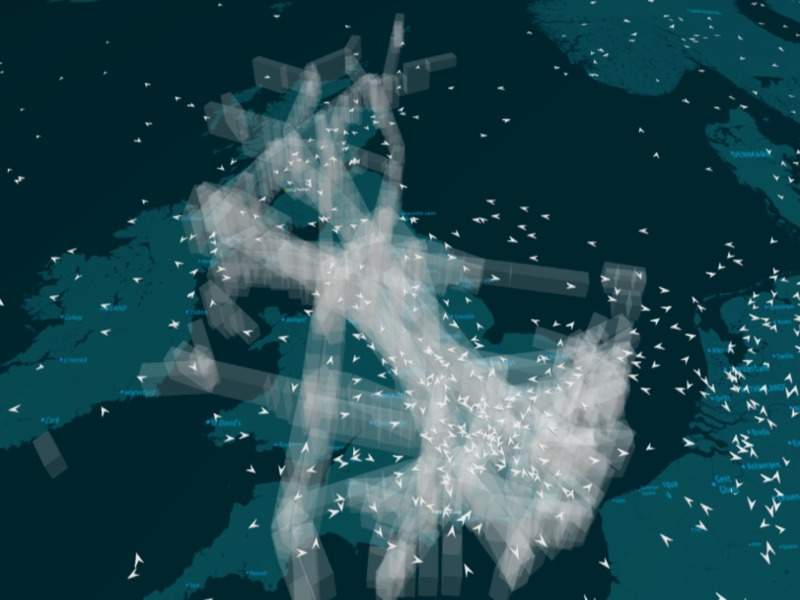
Airspace Explorer can also offer a 3D view of the relative altitudes of aircraft, along with the shape and size of the areas of controlled airspace in the UK.
While still undergoing continual development and improvement, the app can allow users to pan, zoom and move around the airspace in 3D, learn more about its structure, and view flight paths in and out of airports to gain a sense of the approach and departure routes each aircraft flies.
Airspace Explorer not only uses the radar data in the UK, but also the ADS-B data from the global flight data provider, Flight Aware.
Image: NATS’ Airspace Explorer flight-tracking app offers 3D view of airspace. Photo: courtesy of NATS.


